
Federal-state knowledge transfer strengthens Colorado’s geospatial reclamation workflows.
As drones map abandoned mines and digital tools guide field crews, the future of mine reclamation is increasingly data-driven. To help stay ahead, the Colorado Division of Reclamation, Mining and Safety (CDRMS) recently partnered with the Office of Surface Mining Reclamation and Enforcement for a series of virtual sessions to enhance geospatial workflows. In preparation for the 2025 field season, the Western Region's Technical Innovation and Professional Services (TIPS) and Geospatial Information Services branches collaborated to deliver six virtual lunch-and-learn sessions tailored to state agency needs. The effort emphasized knowledge transfer and workflow enhancement, focusing on Esri's ArcGIS Pro and ArcGIS Online platforms—tools essential for managing abandoned mine land program data and meeting compliance requirements under the Surface Mining Control and Reclamation Act of 1977 (SMCRA).
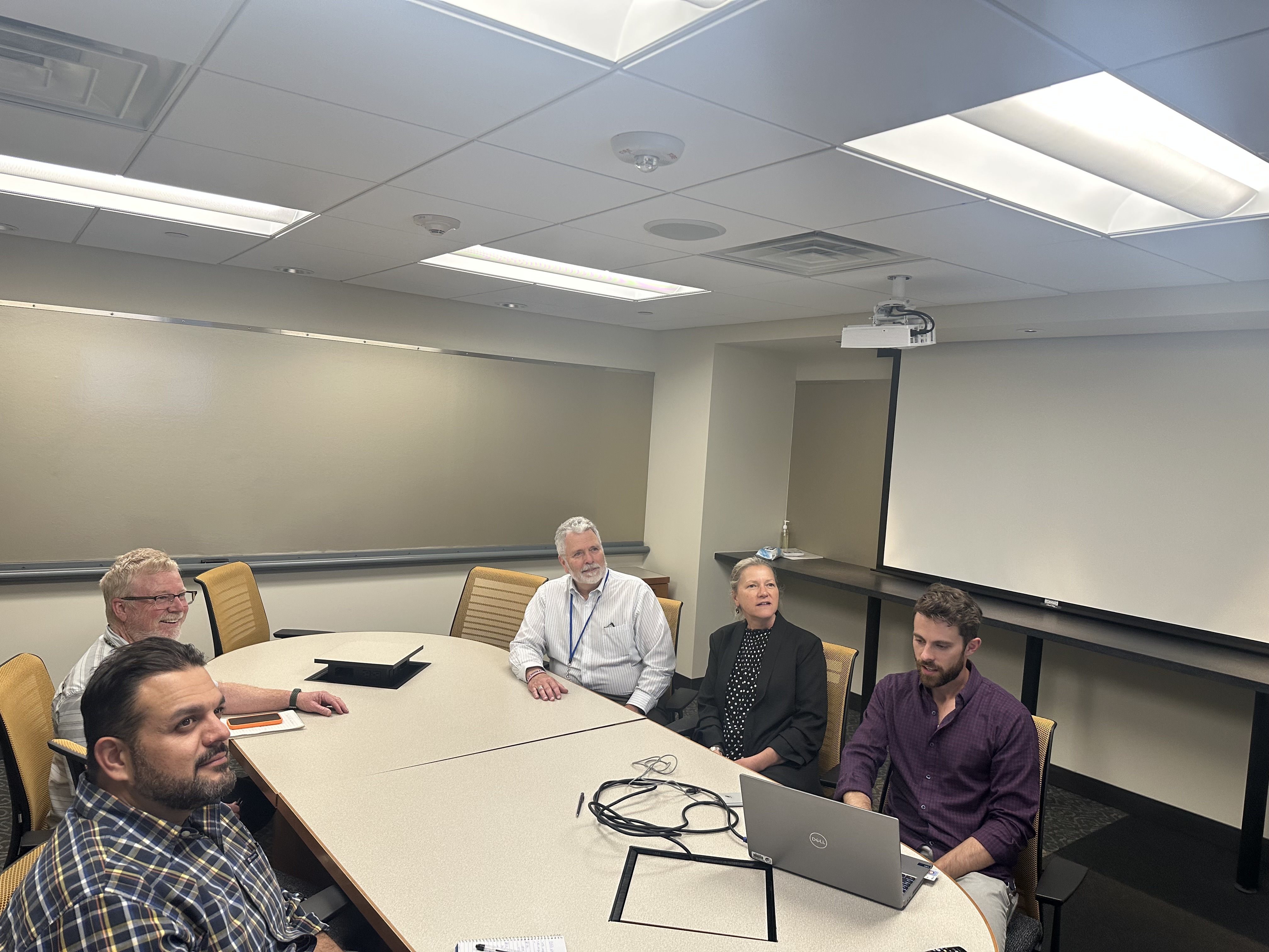
Staff seated in a meeting room during a virtual session on improving geospatial workflows using tools to support abandoned mine land programs and SMCRA compliance.
Twenty students from CDRMS attended the six lunch-and-learn knowledge transfer sessions, where they participated in interactive training, nearly doubling their knowledge in key geospatial skills. The sessions were designed to boost operational efficiency through hands-on instruction, workflow integration, and one-on-one support. The training helped staff improve their ability to identify mine features, integrate mapping tools into investigations, and streamline data collection in the field. One significant improvement involved optimizing field data collection. Inspectors are now using Esri Field Maps to navigate to sites, gather geospatial data via mobile devices, and sync it with the state's Brasscap database—reducing errors and saving time. Remote sensing support helped staff better visualize terrain using hillshades and mosaicking techniques. The mapping instruction focused on developing high-quality, customized visual products for internal teams and contractors.
“CDRMS staff now have a stronger foundation in GIS and are better equipped to support project needs with precise and efficient mapping,” said Jared Fischer, one of the instructors.“The improvements they're making will directly impact how reclamation work is planned and executed in the field."
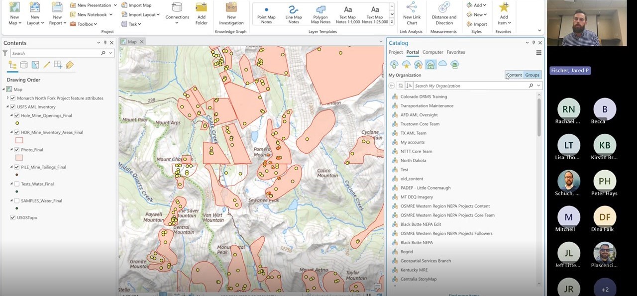
Jared Fischer leading one of the virtual sessions for DRMS
Twenty CDRMS staff members participated in the sessions, and internal feedback showed a near doubling of knowledge in key GIS areas. Each session included live instruction, workflow reviews, and access to subject matter experts. "This crew of GIS pros has already been super helpful," said one participant. "They're knowledgeable, patient, and have gone the extra mile for our program people. We're grateful for the ability and invitation to call upon them with additional questions and help. Couldn't ask for more, personally."
Unlike traditional one-time training, these sessions reflected a broader evolution across the agency—emphasizing knowledge transfer, just-in-time support, and collaboration over time. The TIPS program, supported by subject matter experts across multiple disciplines, continues to play a key role in advancing Title IV and Title V SMCRA programs nationwide.
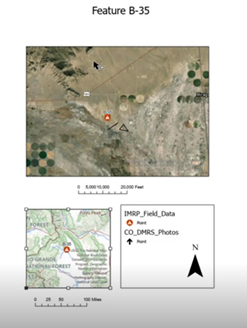
CDMRS IMRP Field Data
As training functions consolidate across the Department of the Interior, efforts like this demonstrate the critical value of targeted technical assistance and interagency collaboration in supporting SMCRA partners. By helping states apply geospatial tools more effectively, OSMRE is strengthening long-term reclamation outcomes while maximizing limited resources. Visit the link to learn more about the TIPS program.