
The Office of Surface Mining Reclamation and Enforcement’s (OSMRE) Mid-Continent Regional office (MCR) recently partnered with the Alabama Abandoned Mine Lands Division and the Alabama Surface Mining Commission for a weeklong technology roadshow across the state. The initiative highlighted the tools and services the MCR’s Technical Services Division provided to support reclamation work under the Surface Mining Control and Reclamation Act (SMCRA) of 1977.
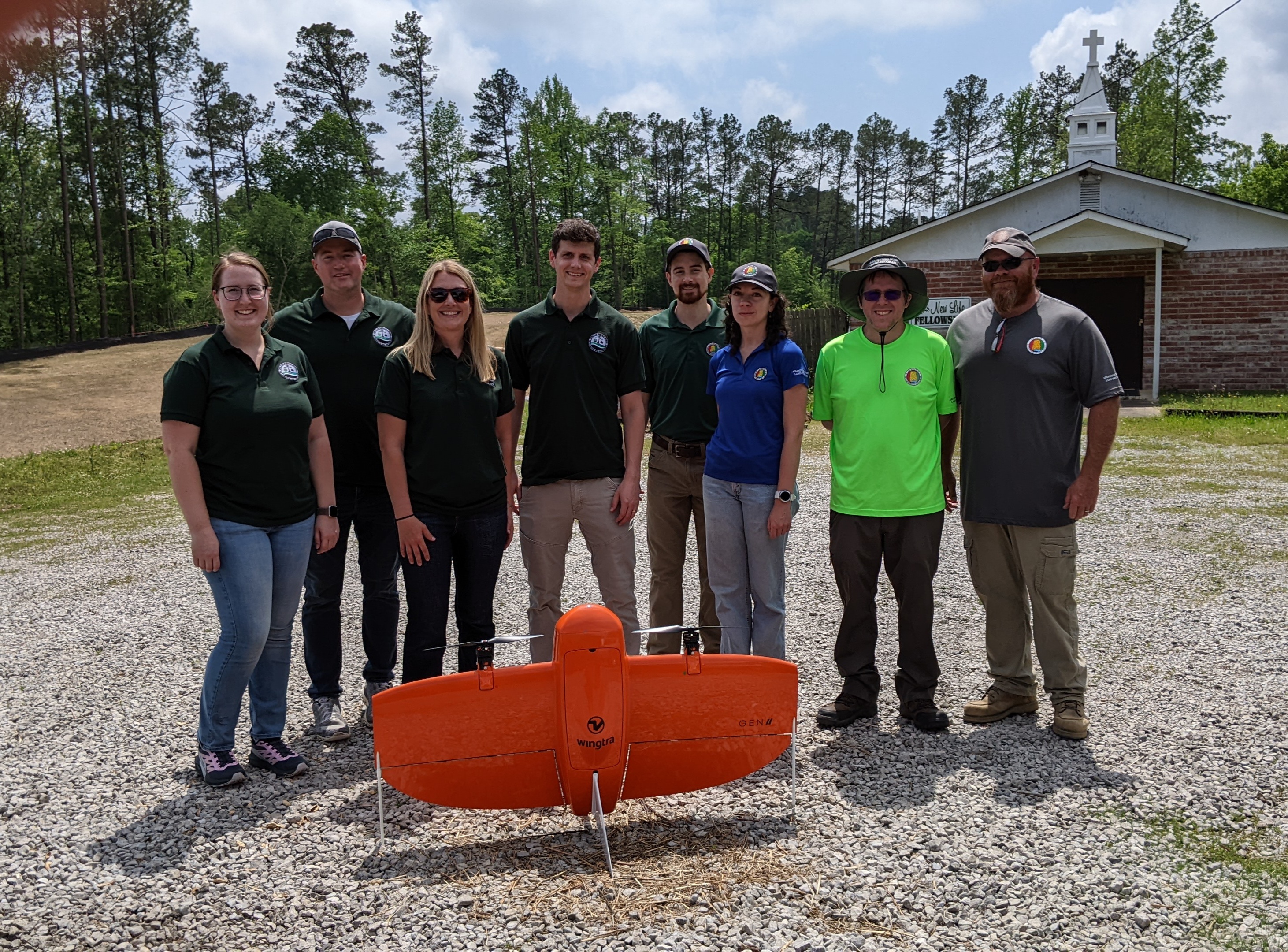
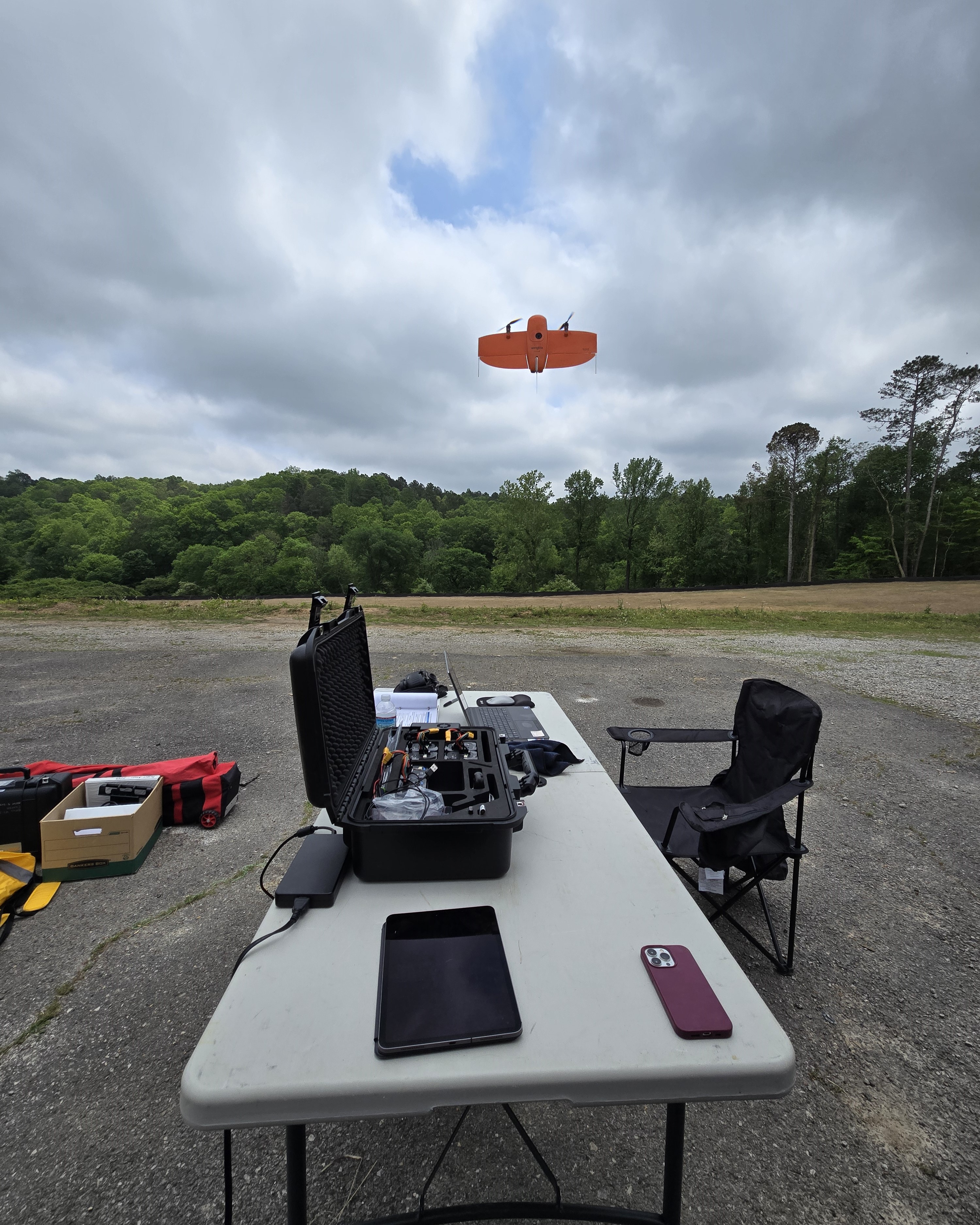
The roadshow began in Birmingham, where OSMRE staff provided on-site training to Alabama AML Division personnel on their newly purchased uncrewed aircraft system (UAS). Geographic Information Systems (GIS) specialists received hands-on instruction using the WingtraOne Gen II UAS, equipped with an RGB camera and a light detection and ranging (LiDAR) sensor. The Wingtra is a fully autonomous system designed to map large areas more efficiently and precisely than older drone models. To improve data accuracy, OSMRE also demonstrated how to set up Global Navigation Satellite System (GNSS) control points during the training.
| 
|
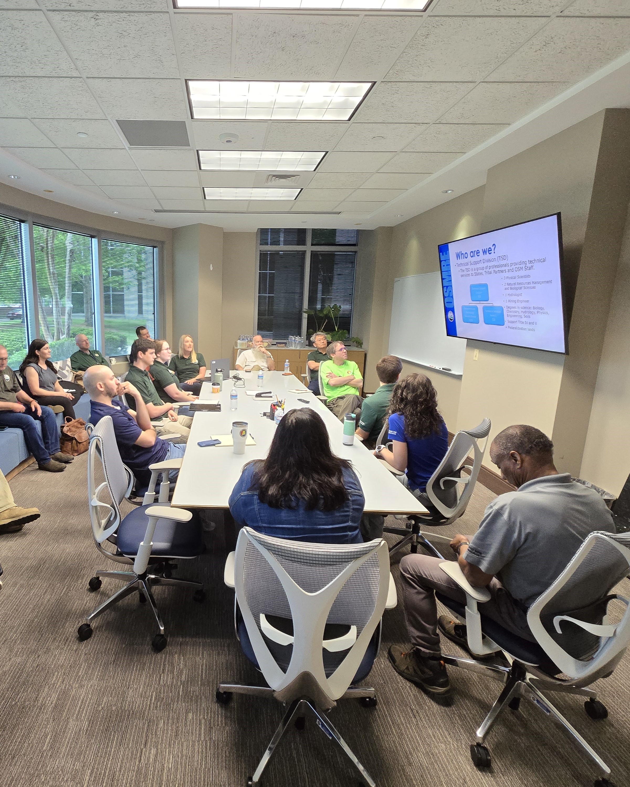
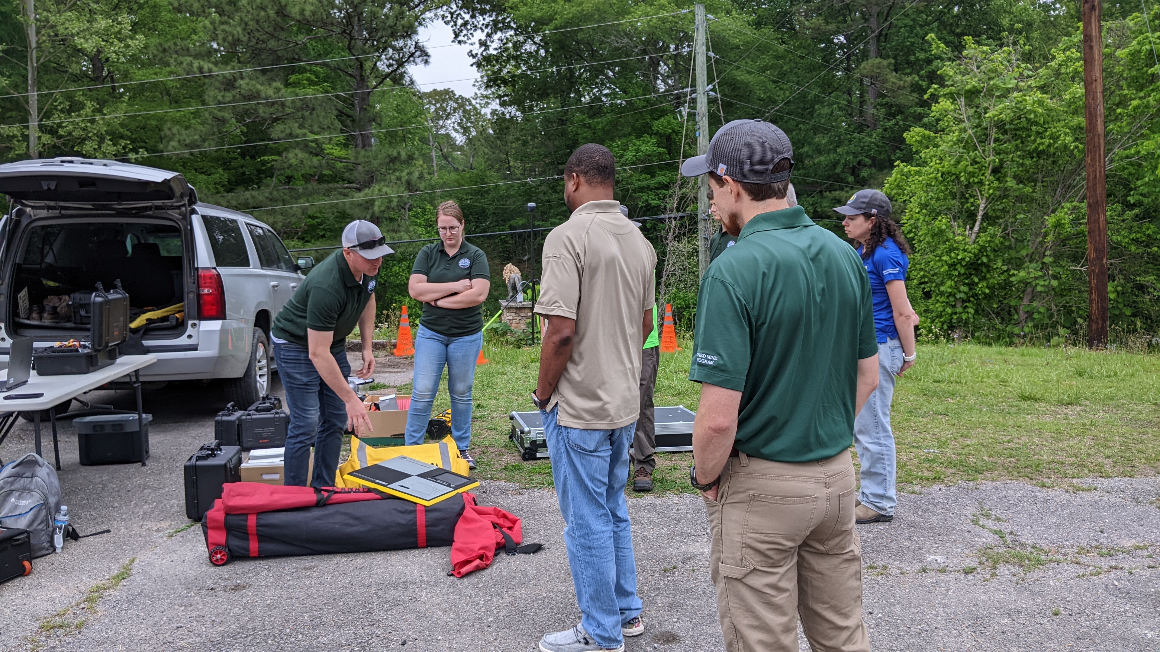
In Jasper, OSMRE staff met with the Alabama Surface Mining Commission to continue the roadshow. Technical Services Division staff showcased capabilities in the following areas:
• Hydrology: Monitoring and managing water flow.
• UAS Operations: Autonomous aerial data collection.
• Photogrammetry: Generating 3D models from imagery.
• Bathymetry: Mapping underwater terrain.
• NEPA (National Environmental Policy Act): Assessing environmental impacts.
• Geographic Information Systems (GIS): Visualizing and analyzing spatial data.
These tools are essential for modern reclamation work, helping states improve public safety, environmental outcomes, and long-term land use.
While there is no fixed schedule for roadshows, the MCR aims to conduct three to four state visits annually, allowing OSMRE staff to connect with each Mid-Continent state every three to four years. Roadshows are a strategic priority for the region, enabling OSMRE staff to provide consistent, hands-on technical support and strengthen partnerships across its jurisdiction.
This event demonstrated MCR’s evolving technology offerings and the agency’s commitment to innovation and collaboration in mine reclamation.